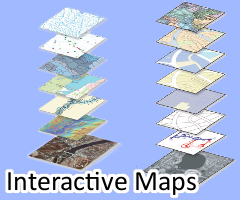
The interactive maps feature city and county wide information including; cadastral and planimetrics information by voter district, school districts, schools, county buildings, water and sewer, land parcels, easements GPS monuments, and zoning. This site brings our GIS technology to you using ArcGIS and JavaScript to view our City and County wide GIS data. If you have questions, suggestions, requests or any other feedback, please contact or email at [email protected]